
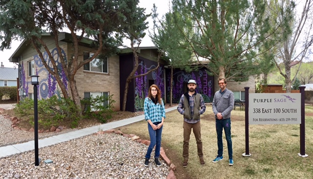
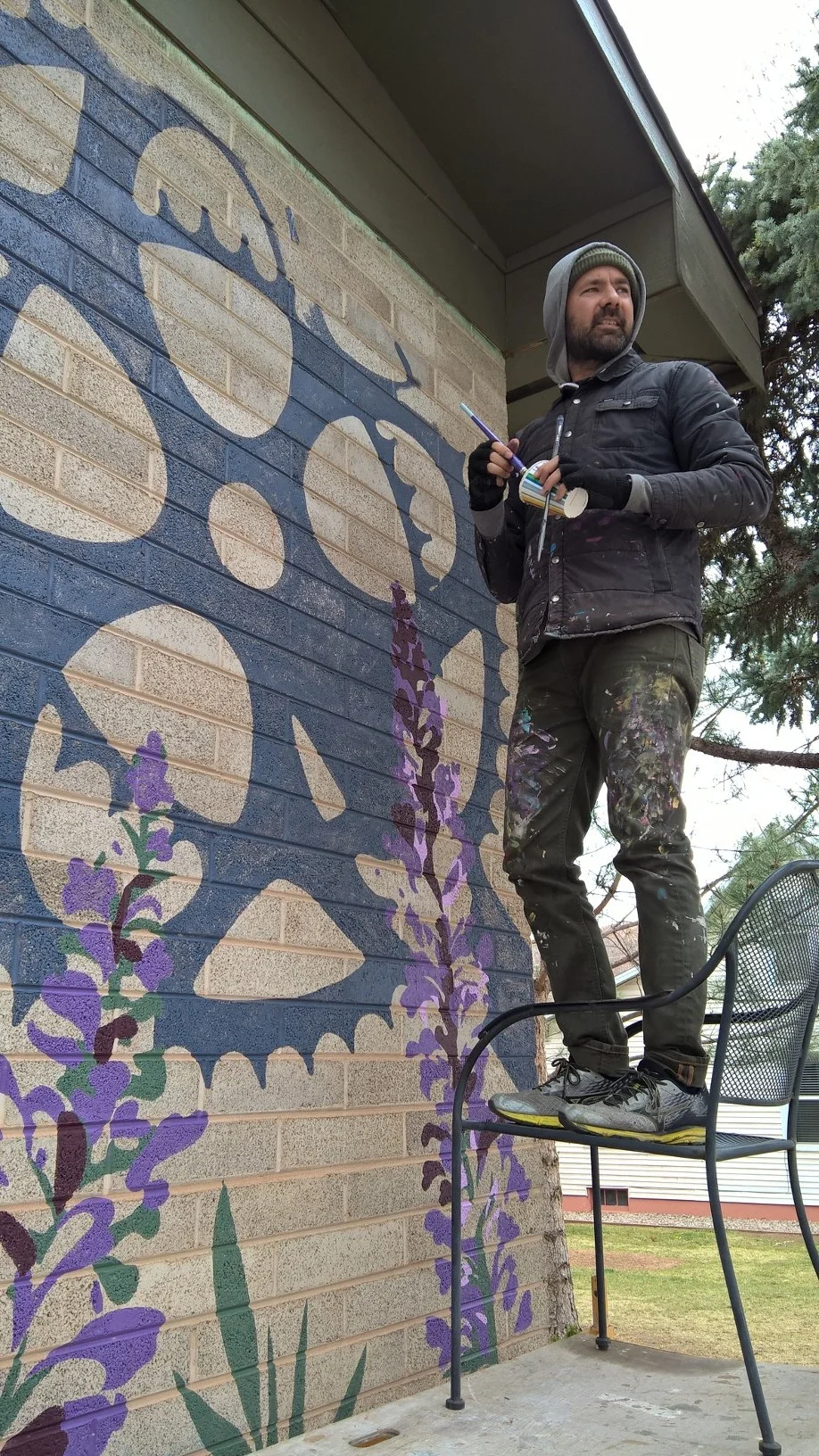
Purple Sage Mural


The Purple Sage murals are painted on 4 panels around the building and designed by Diana Berti and painted by Show Goat Murals out of Austin Texas.

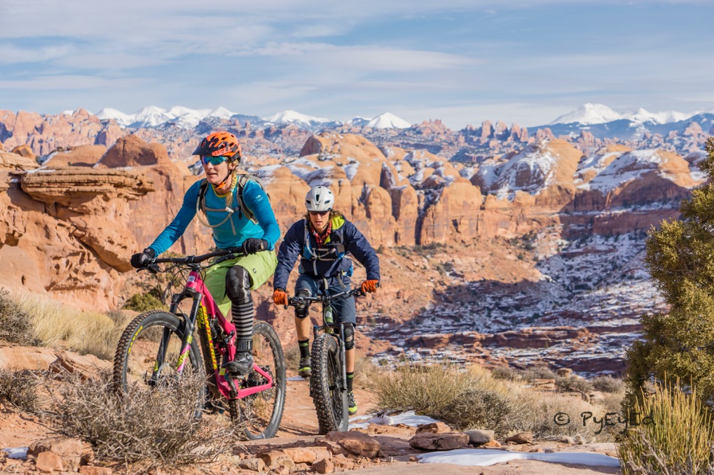
Four Perfect Days in Moab
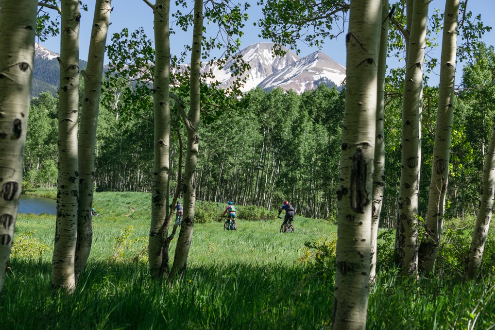
Moab is one of the most unique places on the planet. It is remarkable in both natural beauty and geological diversity. You could visit dozens of times and never really see the area. Outlined below is a great itinerary for a 4 day visit to Moab just about any time of year. Always take water on every hike.
Day 1 - Arches National Park
- See all of the major sites on the visitor map
- Good hikes include the Moab Primitive loop in Devil’s Garden - 5-6 miles. Wonderful hike that is seems less had than the distance would imply. Take water. - 2 - 3 hours.
- Schedule and take a ranger led hike into the Fiery Furnace
- Hike Park Avenue 1 way – 1 person will have to move the car. 30 – 45 minutes.
- Classic Moab experience – Hike Delicate Arch before sunset. Leave about 1.5 hours before sunset. It takes about 45 minutes to get to the trailhead from town. Take water, a jacket and a flashlight.

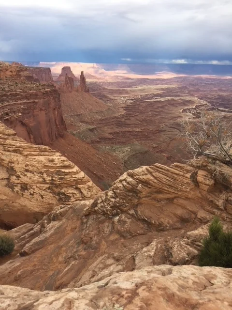
Day 2 - Canyonlands National Park
Take water and lunch. – This can be nice in a Jeep if the weather is nice as there is an option to return to Moab via the Shaffer and Potash Trails. North out of town to Canyonlands turn off– Head west to Canyonlands National Park.
- View the Schafer trail overlook
- Hike Mesa Arch – a short hike with a classic view.
- Drive to Grand View Point
- Drive to Green River Overlook
- Drive to and hike Upheaval Dome
- Hike Lathrop Canyon Trail to the edge of the canyon and back.
- If you have a high clearance vehicle….Return to Moab via to Schafer Trail and go down the Schafer trail.
- Follow trail to the White Rim Dirt Trail – Take White Rim South (Right) ~3 miles to the Musselman Arch and Colorado River overlook. Turn around.
- Return to Moab via the Potash Trail, right turn at the base of the Shaffer Trail
- Potash Trail on the white rim at the base the Schaffer trail drops down to the Colorado River – about 14 miles to the paved road.
- Take Potash Road back to Moab, look for Indian Petroglyphs along the route back (marked).
Day 3 - La Sal Mountain Loop
Road may not be fully passable in the Winter.
From Moab Flats, head south several miles. Follow signs for the La Sal Mountain Loop. Follow up into the foothills of the La Sal Mountains. Look for turn-outs that will provide big views of the canyon country to the West. A couple of spurs are worth taking – though they are often snow packed (though can be passable with All Wheel Drive) in the winter.
The main one is the Geyser Pass Road, which has terrific hiking trails that can help you escape the heat in the summer. Also a few miles up the road is the Gold Basin Trail. It ends at a parking area near a glacier-carved cirque surrounded by some of the key peaks of the La Sal Mountains.
Return back to the La Sal Mountain Road. Continue.
Loop goes through Castle Valley and ends at the Colorado River road. – Take back to Moab.
A great alternative that requires a short walk and creek crossing is Gold Pass. Road ends at trail head and then it is about a 1/4 mile walk to the bottom of the basin.
Afternoon - Navajo Heights to Hidden Canyon.
Go to the end of Arena Roja and take a left. Solano Vallejo Condos on your right. You will pass a rock formation with petroglyphs (next to Robertson drive way) on the left including famous “Moab Man”. Drive to the top of the hill and park before the gates of Navajo Height Subdivision. Hike “Steel Binder” – “Flat Pass Road” trail to at least first creek crossing. Very pretty.


Day 4 - Moab Backcountry – Also good for a Jeep
Hurrah Pass. Headed north to Moab – Turn left at the Mc Donald’s. Follow road a mile or two and again left at the “Y” in the road towards Kane Creek Road. Turn left on Kane Creek Road and go down the river and drive up the river canyon.
Stop at Moon Flower canyon for Petroglyphs and an old Ansazi ladder (real) in a crack in the cliff. Worth walking up into the canyon a little ways.
Take route into Kane Creek Canyon which turns away from the Colorado river. Just beyond Amasaback trail head the look large petroglyphs on a large boulder on the right side of the road. On boulder is famous “Birthing Rock” scene.
Pass through the narrow canyon into the open valley.
Continue the route across creek crossing if your vehicle will allow it. Trail climbs to Hurrah Pass. Big views!
Return the way you came. If you have time and energy, I recommend hiking the Amasaback trail to the top crossing over and looking into the “Jackon’s Hole” which is an anchient meander of the Colorado river. Big views in all directions. Watch out for bikers coming down. About a 45 minutes to an hour hike each way ~ 2 miles each way. Hike over the top to the Jackson Hole overlook and big views in all directions.